
Forestry Real-Life Data Collection Use Case
Soil Mission
Forests are changing faster than we can walk through them.
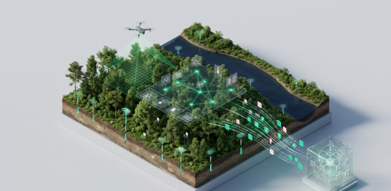
This RAISE Suite use case pairs drone imaging with ground-level soil sensing to spot early signs of forest stress, turning aerial and field data into an openly shared, FAIR-by-design resource for protecting ecosystems.
At a glance
M6 – M40
(Feb 2026 – Dec 2028)
- NOOS (Lead),
- ASDAD,
- AINIGMA Technologies (AIN)
Forestry / Environmental
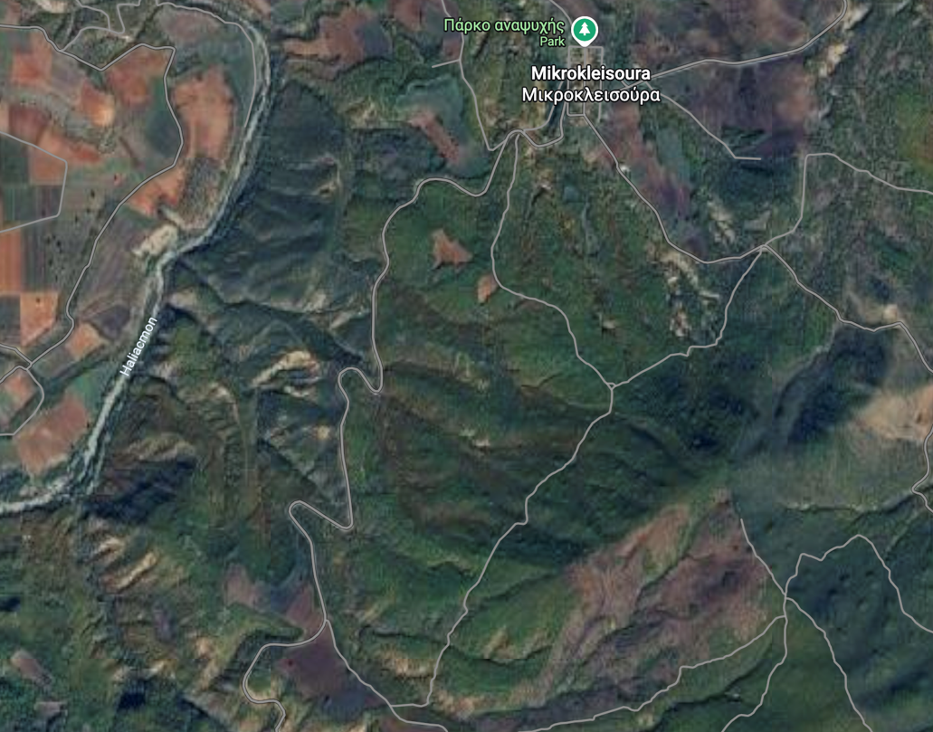
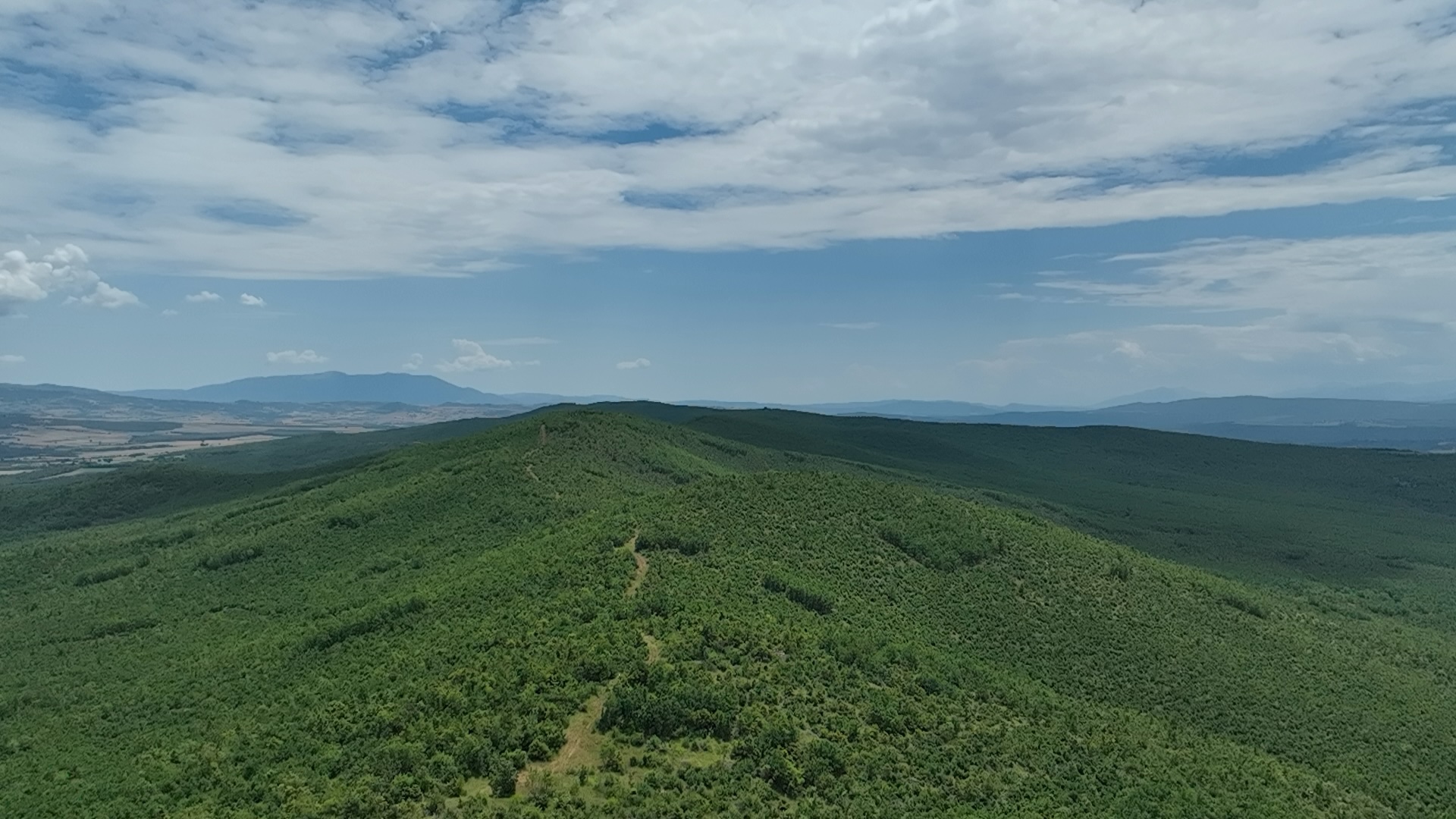
Mikrokleisoura Forest, Grevena, Greece (next to Aliakmonas river)
- 1-2 drone flights/month
- Ground-based sensors
- Sentinel-2 for landscape context
Main Goal
To investigate how drone-based multispectral imaging, combined with in-situ soil sensing, can support near real-time monitoring of forest ecosystem health. A DJI Mavic 3M drone conducts 1–2 flights per month over fixed transects, capturing canopy reflectance across five spectral bands to assess vegetation stress, crown condition, and stand density. Continuously operating soil sensors add complementary ground-level data on moisture and nutrient dynamics.
Together, these data streams help screen forest stands for early signs of stress or structural change — prioritising areas for field inspection and informing decisions on ecosystem protection, erosion risk, and sustainable forest management.
Domain Challenges
- Radiometric consistency: Multispectral reflectance values must stay comparable across flights to detect real ecological change over time.
-
Canopy occlusion: Drones capture only the top of the canopy, leaving stressed trees and soil conditions beneath the overstorey largely invisible.
-
Ground truth scarcity: Remote sensing indices need field validation to be ecologically meaningful — a time-consuming, resource-intensive process.
Keywords
environment, forest, drones, ecosystem
Key Figures & Facts

Mikrokleisoura, Grevena, Western Macedonia, Greece
DJI Mavic 3M: RGB + 5-band multispectral (Blue, Green, Red, Red Edge, NIR)
Flight Frequency: 1-2 missions per month over fixed transects
- Multispectral orthomosaics (5 bands) per flight session
- Vegetation index rasters (NDVI, NDRE, GNDVI)
- Continuous soil sensor time series (moisture, temperature)
- Flight logs and radiometric calibration records
- All datasets deposited to an open repository under CC BY 4.0
Continuous in-situ monitoring of moisture and nutrient levels
6-8 months of active data collection
~5 cm ground sampling distance at 80 m altitude
Use Case Implementation Phases
Data Collection Without RAISE
SDK Integration & RAISE Onboarding
Data Collection with RAISE
Use Case Outcomes
A Lighter Data Workload
Automated Capture, Less Time and Cost
SDK-based automation captures drone and sensor data directly, cutting the time, storage and manual effort forest data management used to demand.
A Guided FAIR Workflow
One Integrated Toolset, No Expertise Gap
A single RAISE Portal workflow and maDMP replace fragmented tools, making FAIR, interoperable data collection achievable without specialist DMP skills.
An Open, Trusted Dataset
Recognised, Citable and GDPR-Compliant
A published, citable forestry dataset on the RAISE Portal and EOSC turns data sharing into visible, credited and compliant research output.
