
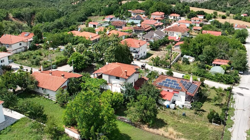
On 3 July, the RAISE Suite Forestry Use Case reached an important fieldwork milestone in Mikrokleisoura, a mountain village in the Grevena regional unit of Western Macedonia, Greece. The visit brought together the Noosware team and the local forest cooperative ASDAD — Anagkastikos Synetairismos Diacheiriseos Adiairetou Dasous Mikrokleisouras — for a first hands-on exploration of the forest area that will support the project’s drone-based data collection activities.
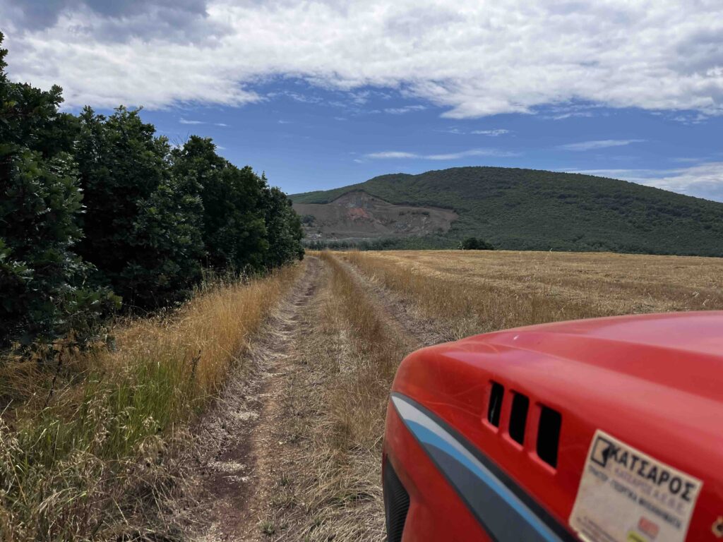
When science takes to the field, sometimes the best vehicle is a tractor
The Noosware team recently made the journey to Mikrokleisoura, a small mountain village nestled in the Grevena regional unit of Western Macedonia, Greece. The visit brought together researchers and the local forest cooperative (Anagkastikos Synetairismos Diacheiriseos Adiairetou Dasous Mikrokleisouras – ASDAD) for a first hands-on encounter at the heart of the RAISE Suite Forestry Use Case.
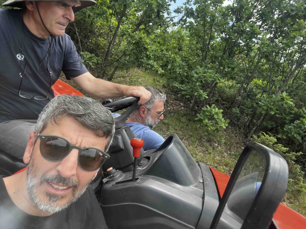
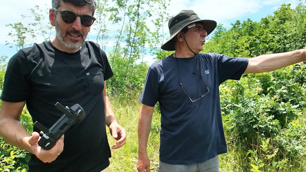
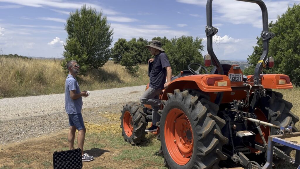
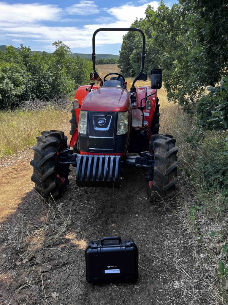
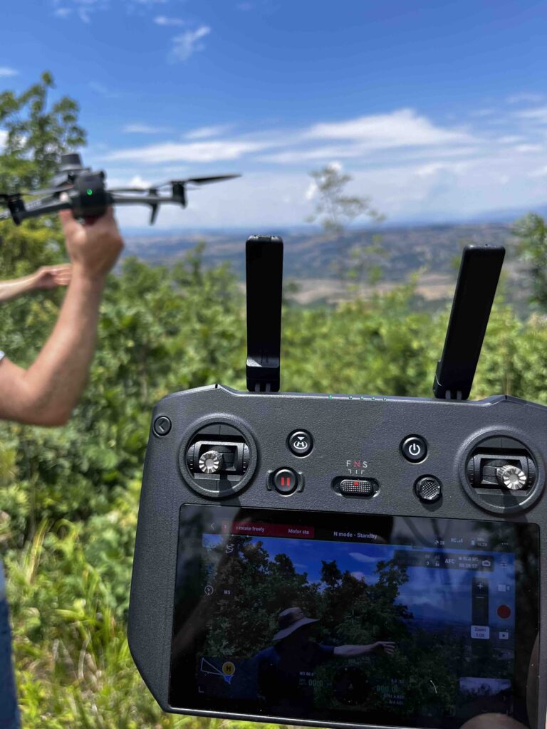
The objective was clear: map the forest area, conduct preliminary test flights with the DJI Mavic 3M drone, and plan the next steps of the data collection campaign. What was perhaps less expected was the warmth and practicality of the welcome from the ASDAD team, who guided the Noosware scientists deep into the forest on a tractor, navigating terrain that no ordinary vehicle could reach.
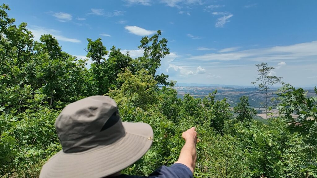
“An amazing experience“: those were the words that stayed with the team long after the visit. Surrounded by dense oak forest, at an altitude of over 570 metres, the scale and ecological richness of the area became immediately apparent. This is not just a dataset waiting to be collected; it is a living landscape shaped by centuries of human stewardship.
Test Flights and Preliminary Mapping
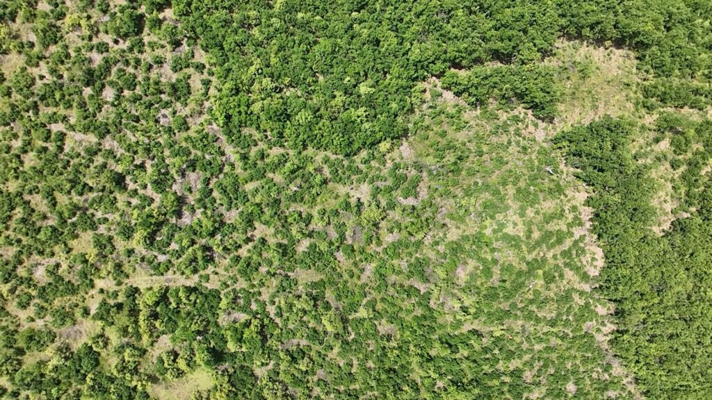
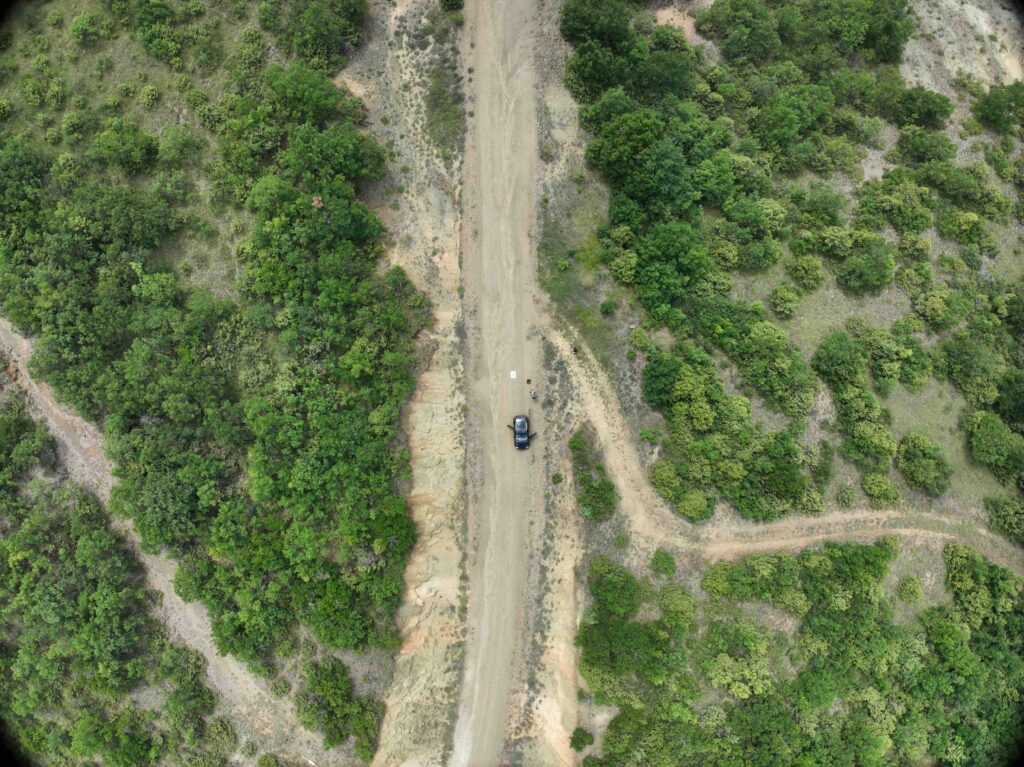
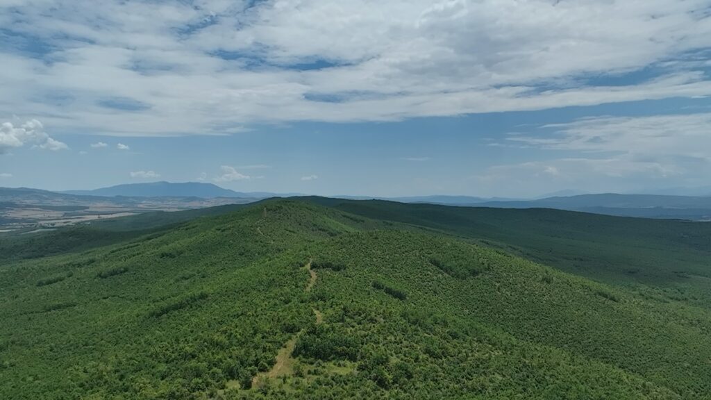
During the visit, the team carried out a series of preliminary test flights over the forest canopy. The DJI Mavic 3M, equipped with both an RGB camera and four multispectral bands (Green 560nm, Red 650nm, Red Edge 730nm, and NIR 840nm), proved well-suited to the varied terrain. Initial imagery confirmed the density and diversity of the forest cover, with mixed oak stands and riparian zones along the nearby Aliakmonas River clearly visible from the air.
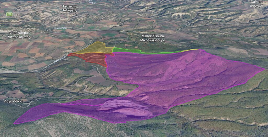
Alongside the drone flights, the team used satellite and aerial basemaps to produce a preliminary map of the area of interest, defining the boundaries for the full data collection campaign and identifying priority zones for multispectral analysis.
Planning the Road Ahead
The field visit concluded with a planning session between Noosware and ASDAD, laying the groundwork for the full data collection campaign. Key next steps agreed include the definition of flight mission parameters, ground truth data collection protocols, and the integration of the acquired multispectral and RGB datasets into the RAISE Suite data pipeline for near real-time analysis.
The collaboration with ASDAD is central to the success of this use case. Their deep knowledge of the local terrain, combined with Noosware’s expertise in drone-based sensing, creates exactly the kind of partnership that the RAISE Suite project was built to support.